
|
|

|
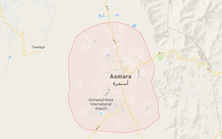
Total area- 117,600 sq km
Land area- 101,000 sq km
Water area- 16,600 sq km
Size compared to USA- USA is 83 times bigger
Borders- Sudan, Djibouti, Ethiopia, Red Sea
Border distance- 1,840 km
Coastline- 2,234 km
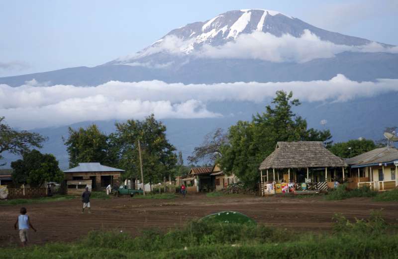
Climate- hot, dry desert strip along Red sea, cooler and wetter in central highlands, semiarid in western hills and lowlands
Terrain- North south highlands, eastern desert plain, north west is hilly, and south west flat and rolling plains
Lowest elevation- negative 75 m at Lake Kulul
Highest elevation- 3,018 m at Emba Soira
Land area- 101,000 sq km
Water area- 16,600 sq km
Size compared to USA- USA is 83 times bigger
Borders- Sudan, Djibouti, Ethiopia, Red Sea
Border distance- 1,840 km
Coastline- 2,234 km
Climate- hot, dry desert strip along Red sea, cooler and wetter in central highlands, semiarid in western hills and lowlands
Terrain- North south highlands, eastern desert plain, north west is hilly, and south west flat and rolling plains
Lowest elevation- negative 75 m at Lake Kulul
Highest elevation- 3,018 m at Emba Soira
|

|
